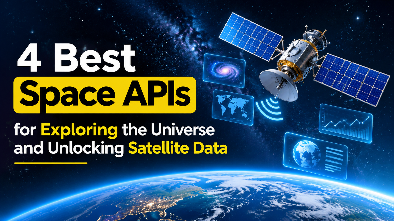
4 Best Space APIs for Exploring the Universe and Unlocking Satellite Data
Space technology is creating new opportunities for developers, businesses, researchers, and educators. With the help of space APIs, applications can access satellite imagery, astronomical information, planetary photographs, and other scientific data without building complicated data collection systems from scratch.
Whether you want to develop an astronomy application, monitor environmental changes, or create an educational platform, choosing the right API can simplify development and improve your application’s capabilities.
However, different APIs serve different purposes. Some specialize in Earth observation, while others provide information about astronomical discoveries or images captured during space exploration missions. Here are four space APIs worth considering for your next project.
What Are Space APIs?
Space APIs, or Application Programming Interfaces, allow software applications to retrieve and use information related to astronomy, satellites, and space exploration. Developers can integrate this information into websites, mobile applications, dashboards, and analytical tools.
For example, an educational application could display astronomical photographs, while an environmental monitoring platform might use satellite imagery to investigate changes in land cover. These APIs make specialized information more accessible and reduce the effort required to build applications around scientific data.
1. SkyFi API
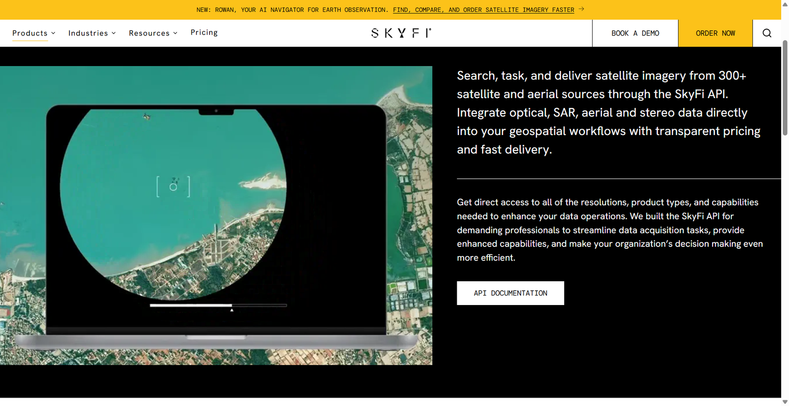
The SkyFi API is an option for developers who need access to satellite imagery and Earth observation data. Its platform connects users with commercial satellite and aerial imagery sources, making it useful for projects that require geographic information about locations around the world.
You can explore its capabilities through the official SkyFi API platform.
Key Features and Applications
Satellite imagery can help organizations understand how specific locations change over time. Businesses can use suitable images to investigate land development, monitor construction projects, and examine environmental conditions.
Agricultural companies may use satellite observations to study vegetation patterns and identify areas that require further investigation. Environmental researchers can analyze changes in forests, coastlines, and other landscapes, depending on the imagery available.
SkyFi can also support the development of geospatial applications that bring satellite imagery into existing business workflows. Developers could create dashboards that organize observations by location and help users review relevant geographic information.
Before selecting this API, check the availability, resolution, acquisition dates, pricing, and usage conditions of the imagery you need. Not every location will have the same coverage or image quality.
Best for: Businesses and developers working with satellite imagery, agriculture, infrastructure, environmental monitoring, and geographic analysis.
2. NASA API
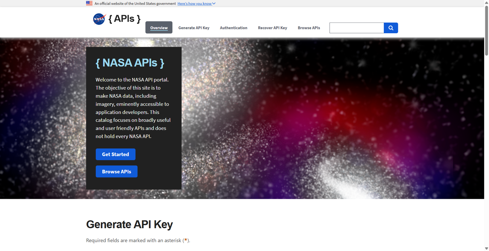
NASA provides a collection of APIs that make space-related information accessible to developers. These resources cover subjects ranging from astronomical photography to near-Earth objects and planetary exploration.
The official NASA API portal provides documentation and information about accessing its available services.
Key Features and Applications
One popular resource is Astronomy Picture of the Day (APOD), which presents an astronomical image or visual feature alongside an explanation. Developers can use its API to build applications that display space photography and educational information.
NASA also provides access to information about near-Earth objects, including asteroids. Depending on the endpoint, developers can retrieve details about object identification, estimated size, and close approaches to Earth.
These resources can support astronomy websites, educational applications, interactive scientific visualizations, and mobile applications designed to make space science more accessible.
Many NASA APIs offer free access, although authentication requirements and request limits vary. Developers should consult the relevant documentation before integrating a particular service.
Best for: Students, educators, astronomy enthusiasts, and developers building applications around space science and publicly available scientific data.
3. Open Astronomy Catalog API
The Open Astronomy Catalog is particularly relevant to developers interested in astronomical transient events. These events include phenomena such as supernovae, which can change in brightness and provide valuable information about the universe.
Unlike APIs focused primarily on photographs, astronomical catalogs organize scientific information into structured records that applications can retrieve and analyze.
Key Features and Applications
Catalog records may contain information such as object names, coordinates, discovery details, and observational measurements. The available information depends on the particular record and associated datasets.
Developers can use this information to create searchable astronomical databases, research dashboards, and educational tools. For example, an application could display recorded observations of a transient event on a timeline, helping users understand how astronomers investigate changing celestial objects.
Researchers may also use catalog data to compare events and explore patterns across available observations.
However, this resource is more specialized than a general-purpose space API. It should not be treated as a universal service for retrieving telescope images or selecting observations from any telescope.
Before using it, review the current documentation, supported queries, available data fields, and access methods.
Best for: Astronomy researchers, scientific software developers, and educators working with astronomical discoveries and observational data.
4. Mars Photo API
If your project focuses on Mars exploration, NASA’s Mars Rover Photos API is worth exploring. It provides access to photographs captured by supported Mars rover missions, allowing developers to incorporate planetary imagery into their applications.
The API can be explored through the NASA API portal.
Key Features and Applications
NASA’s Mars exploration program includes well-known rovers such as Curiosity and Perseverance, which have photographed the Martian surface during their missions.
The Mars Rover Photos API allows applications to retrieve image information using supported parameters. Depending on the endpoint, developers can search using a rover’s name, mission sol, Earth date, or camera information.
This makes the API useful for creating interactive photo galleries, educational websites, and planetary exploration dashboards.
For example, a developer could build an application that lets visitors browse Mars photographs by mission or camera. An educational platform could display selected images alongside explanations of the rover’s activities and scientific objectives.
The API’s available records and supported query options depend on the service’s documentation. It should not be assumed to provide every image or all scientific information associated with Mars missions.
Best for: Developers creating Mars exploration websites, astronomy applications, educational resources, and interactive planetary image galleries.
How to Choose the Right Space API
The best API depends on your project’s requirements.
SkyFi is worth considering when you need commercial satellite imagery for Earth observation. NASA APIs are suitable for applications involving astronomy, planetary science, and scientific information. The Open Astronomy Catalog is more appropriate for projects involving astronomical transient events, while the Mars Rover Photos API is ideal for applications focused on Mars imagery.
Before making your decision, examine the documentation, authentication requirements, request limits, pricing, and licensing conditions. If your application will be commercial, verify that the intended use is permitted.
You should also test the API before building your complete application. Examine its response format, check how frequently the data is updated, and implement error handling for unsuccessful requests. If the API requires private credentials, store them securely on your backend rather than exposing them in public-facing code.
Final Verdict
Space APIs make it easier to incorporate scientific information and satellite imagery into modern applications. Whether you want to analyze Earth’s changing landscapes, explore astronomical discoveries, or display photographs from Mars, these four options offer different opportunities.
SkyFi is a strong candidate for Earth observation projects, NASA API provides broad access to space-related resources, Open Astronomy Catalog supports specialized astronomical research, and Mars Rover Photos API helps developers explore the Red Planet through real mission imagery.
Choosing the right service will help you develop a more useful application while reducing the complexity of accessing specialized space data.